Nepal: The Country
Nepal, a small country among giants

Himalaya – Nepal – Humla – Simikot

Provincial map of Nepal
Nepal is located between two huge countries —India and China— and is shielded by the Himalayan mountain chain. It is a small country that was formed as a federal republic comprised of seven provinces.
The country was founded in 1786 by a Gorkha prince that unified several independent states from the spurrs of Himalaya. In 1814, the Anglo-Napalese War against the British forces of the East India Company was declared. Nepal lost Sikkim and part of the Terai, in the south, but kept its independence.
In 1846, the isolationist Rana dynasty was established, which relegated the king to a representative role. But Prime Minister positions remained hereditary until 1948, year when the Shah dynasty was reestablished, coinciding with India’s Independence.
In 1950, a party system was established with the approval of a constitution. The first elections were held in 1959.
In 1962, an absolute monarchy —which lasted until 1989— was installed. In 1991, elections were held.
In 1996, the Communist Party of Nepal (Maoist Center) initiated a revolution that unleashed a Civil War, which lasted until 2006.
In 2001, the entire royal family was murdered by a member of the own royal family (the king’s son or brother).
In 2002, the new king (the former king’s brother) imposed martial law and dissolved the government. The guerrilla was already controlling 80% of the territory.
A new government was established in 2006 and elections were called in 2008.
The new government —formed on its majority by different branches of the communist party— dissolved the monarchy in May 2008 and agreed to draft a new constitution.
On 20th September 2015, the first constitution was published. It established a federal republic composed of seven provinces.
The dominant religion is Hinduism, followed by Buddhism. Cristianism and Islamism are also present, but as a minority. Nepal is a really religious-tolerant country. There’s a lot of religious tolerance

Elevation map of Nepal. Between 100 and 8848 m.a.s.l.
Some data
A country of contrasts
The geography of the country is characterized, in the south, by the Terai plane, which limits with India. This area has a tropical climate and is located under 200 m.a.s.l. Its wildlife and vegetation are also tropical, home of tigers, elephants, and rhinoceros. The crops consist of sugar-cane, rice, and banana.
In the north, there is the Himalayan mountain chain, with 8 out of the 14 peaks located above 8000 m.a.s.l.
And, amongst those two zones, valleys and mountain chains enable the geological traffic between those two worlds.
The capital is Kathmandu, a city with a strong touristic charm. Even if it is the capital of a third-world country with little urban order and a lack of resources in that sense.
The city is located 1400 m.a.s.l. and the climate is mild throughout the year.
About 2 million people live in the valley where the city is located. Until May 2022, Kathmandu’s airport was the only one with international flights.
Now, international flights also land in Lumbini, place of birth of Buda Gautama.
| Nepal | India | Spain | Catalonia | |
| Surface area km² | 147.000 | 3.290.000 | 505.000 | 32.107 |
| Population 10⁶. 2020. 2020. W. Bank | 29,14 | 1.300 | 46,7 | 7,7 |
| Rural population. %. 2017. W. Bank | 79 | 65 | 19 | 16* |
| GDP per Capita 2020. 2020. W. Bank US$ | 1.155 | 1.694 | 26.425 | 31.119 |
| Life expectancy. 2015 2015. m/f. W. Bank | 68/71 | 67/70 | 80/86 | 81/86 |
| Health-care costs/p. €/year. 2019. 2019. Expansion | 9 | 17 | 1.703 | 1.269 |
| Health-care costs. GDP % 2017. 2017. Expansion | 5,8 | 4,7 | 6,3 | 5,2 |
| Fertility 2019 W. Bank | 1,9 | 2,2 | 1,2 | 1,29 |
| Infant mortality/1000 births. W. Bank | 26,9 | 37,8 | 3,3 | 2,42 |
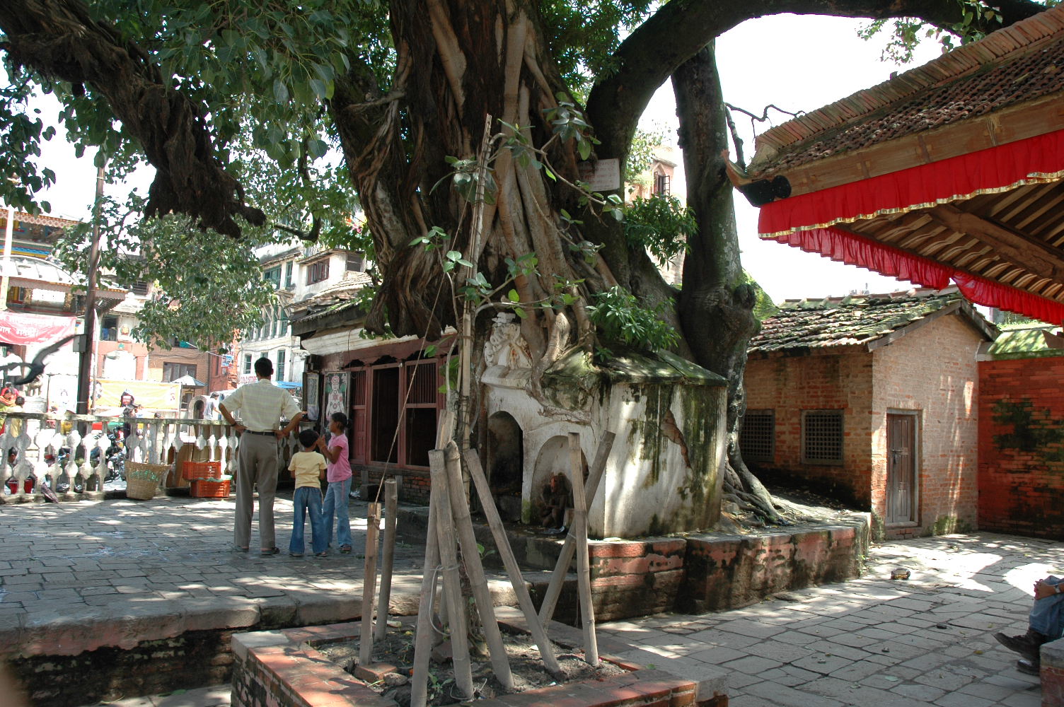
Images from Kathmandu
The Durbar
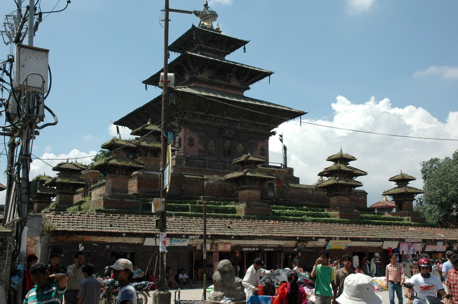
The city’s historical center.
Pashupatinath
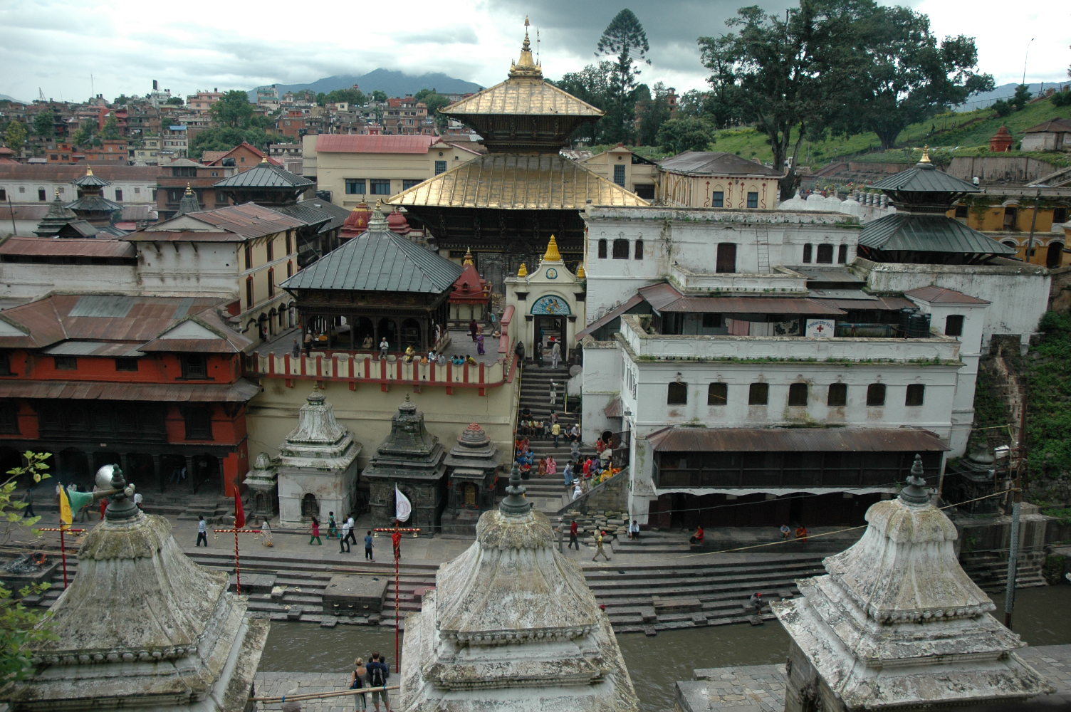
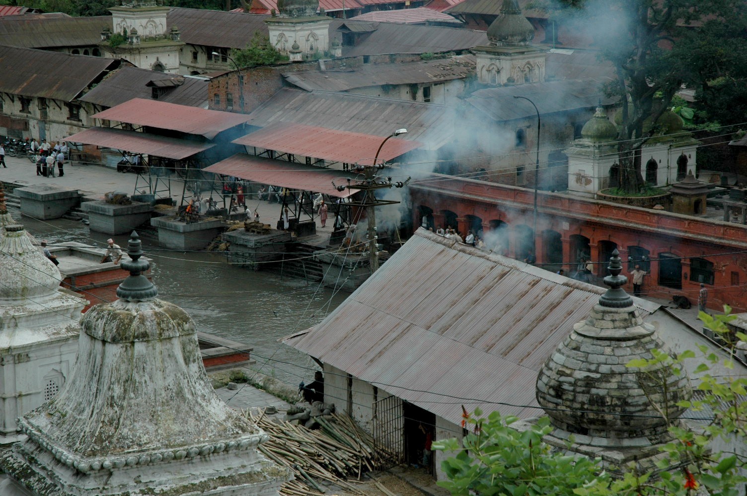
This is where the cremation of bodies according to Hindu rites takes place.
Boudhanath


The largest Buddhist stupa in Nepal.
Swayambhunath
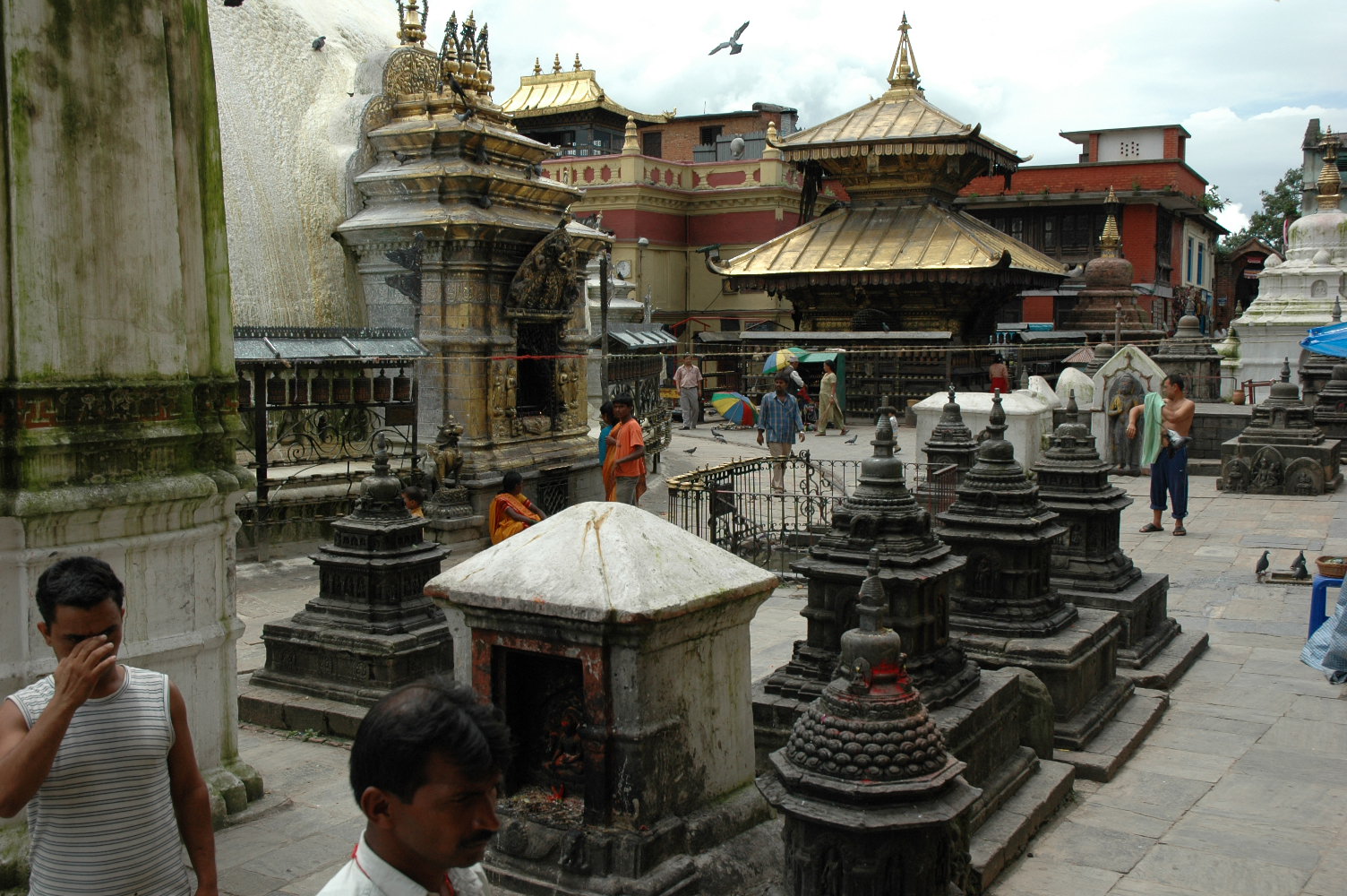
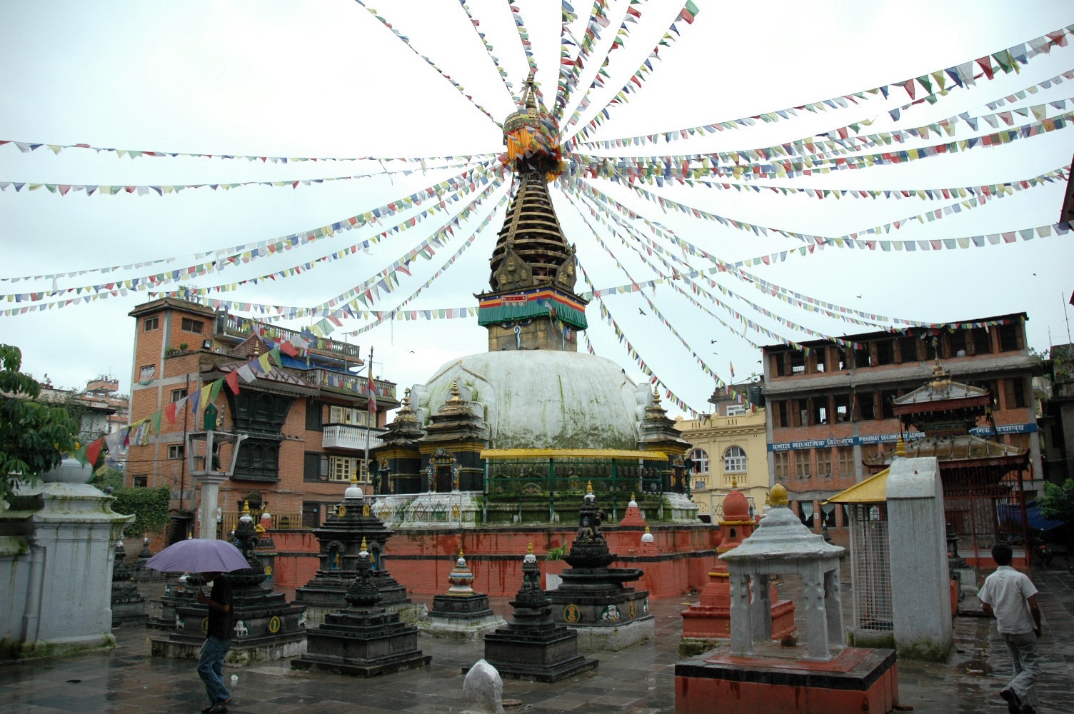
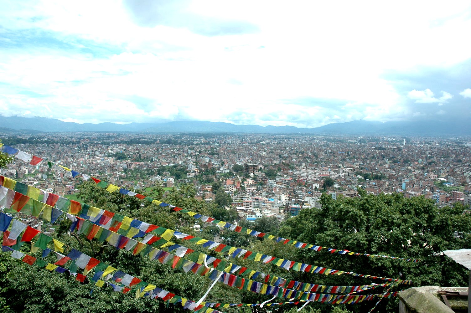
Swayambhunath temple and the views of the city.
Thamel neighbourhood
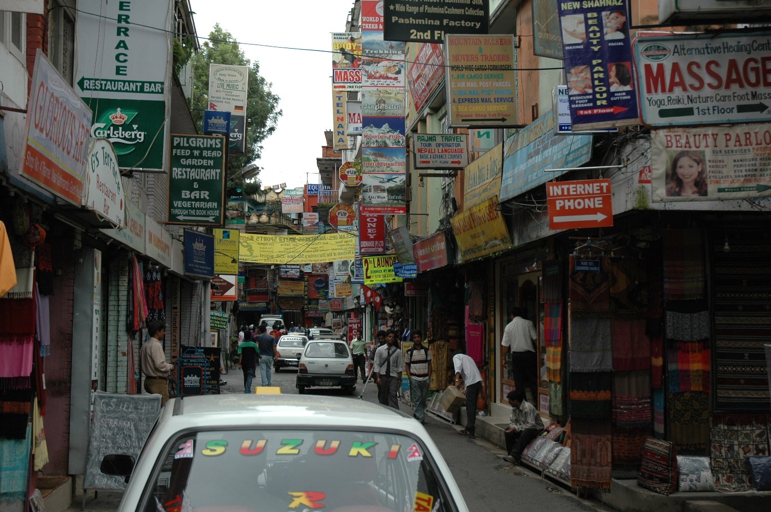
A must-see: this is the part of the city with most touristic services.
Patan

A short distance away, we can find remarkable religious and civilian buildings, vestige of the history of the 18th and 19th centuries.
Bakthapur

World Heritage Site
Nepal is a country where NPO initiatives are really important.
In July 2019, 245 international NPOs operated in Nepal: 75 from the US; 37 from the UK; and only 2 from Spain. One of those 2, Medicos Mundi, is no longer operative. The association provided support during the 2015 earthquake that affected the area in the north of the capital, in Langtang.
As per local NPOs, Nepal counts on about 50,358 of them. Many of these collaborate with foreign NPOs. In the capital’s province, there are 25,992 NPOs. The Karnali province has about 2108 NPOs, while the Humla region (which belongs to the Karnali province), has 193 of them.